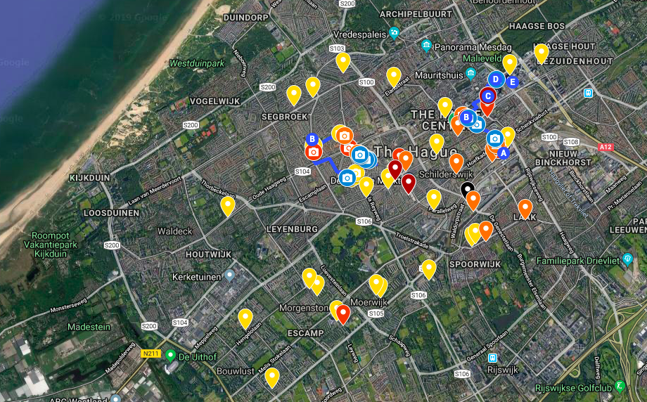
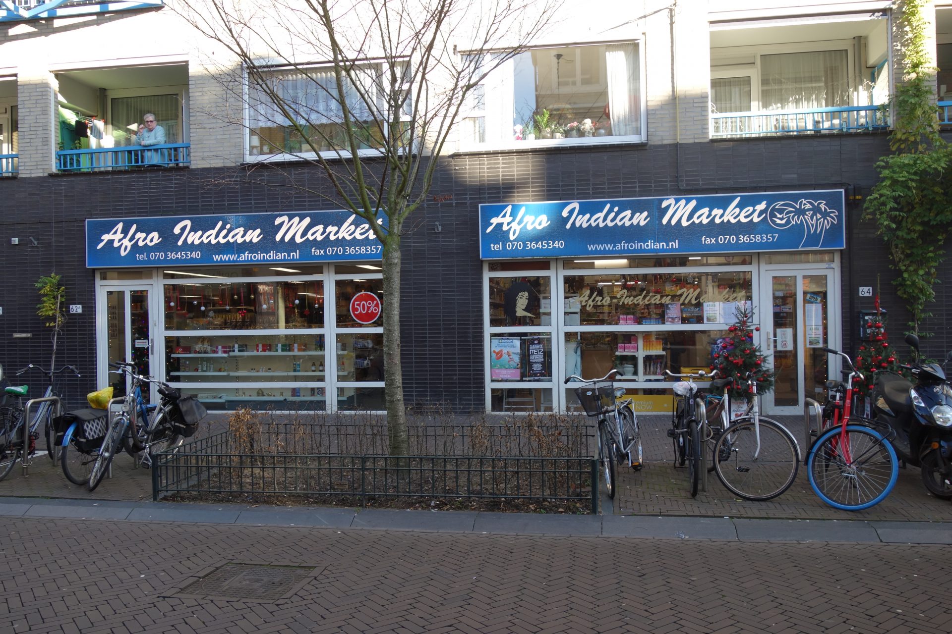
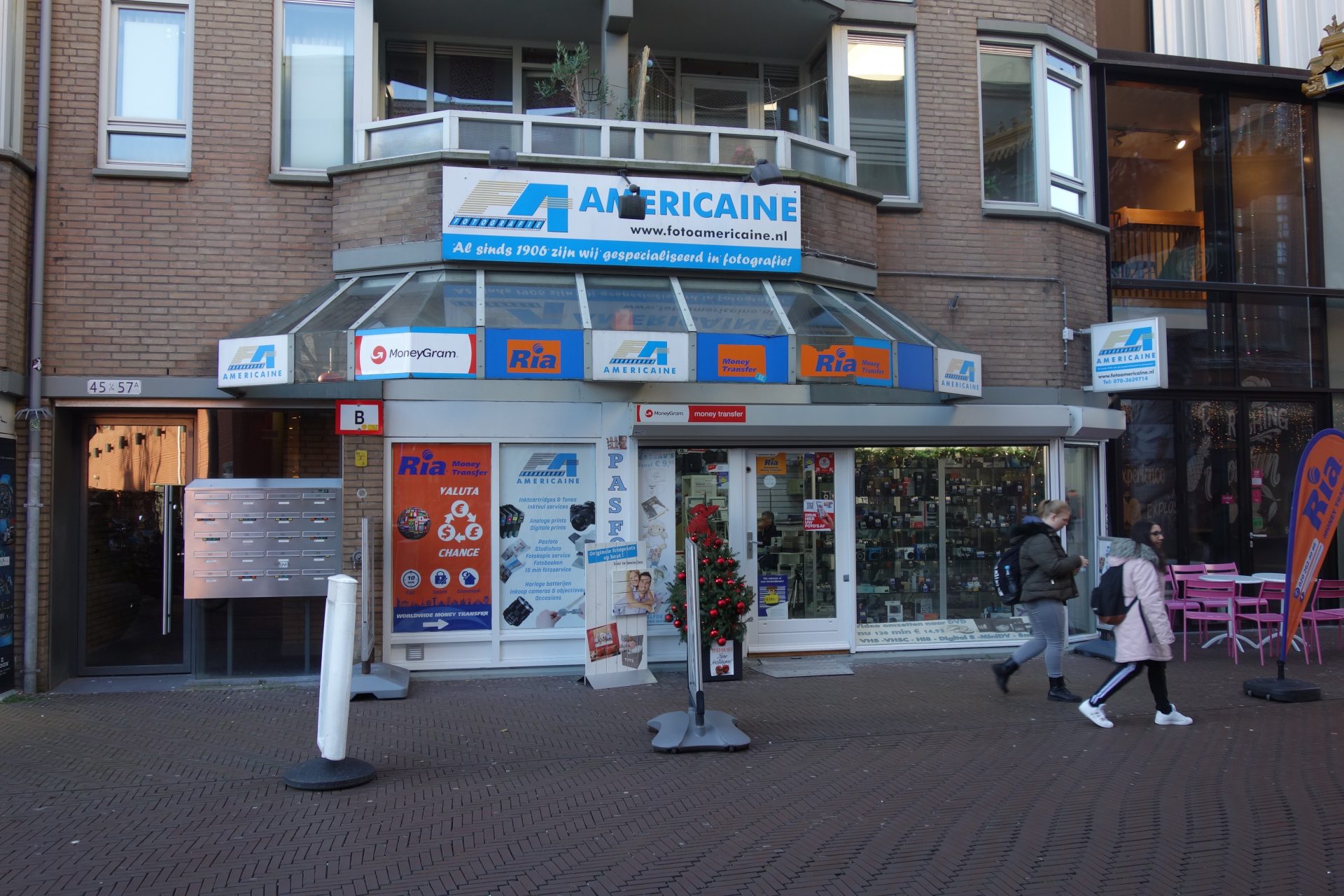
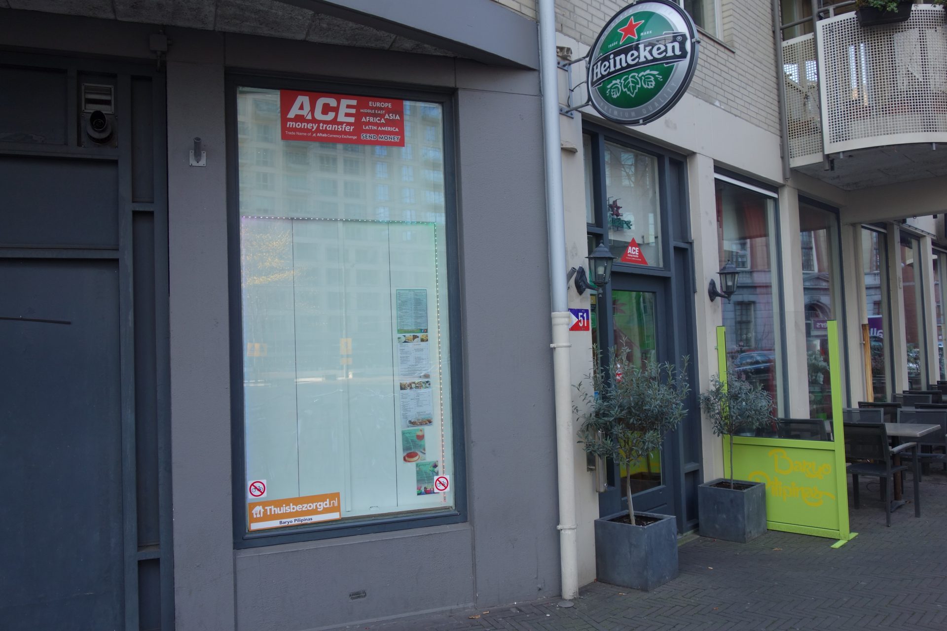
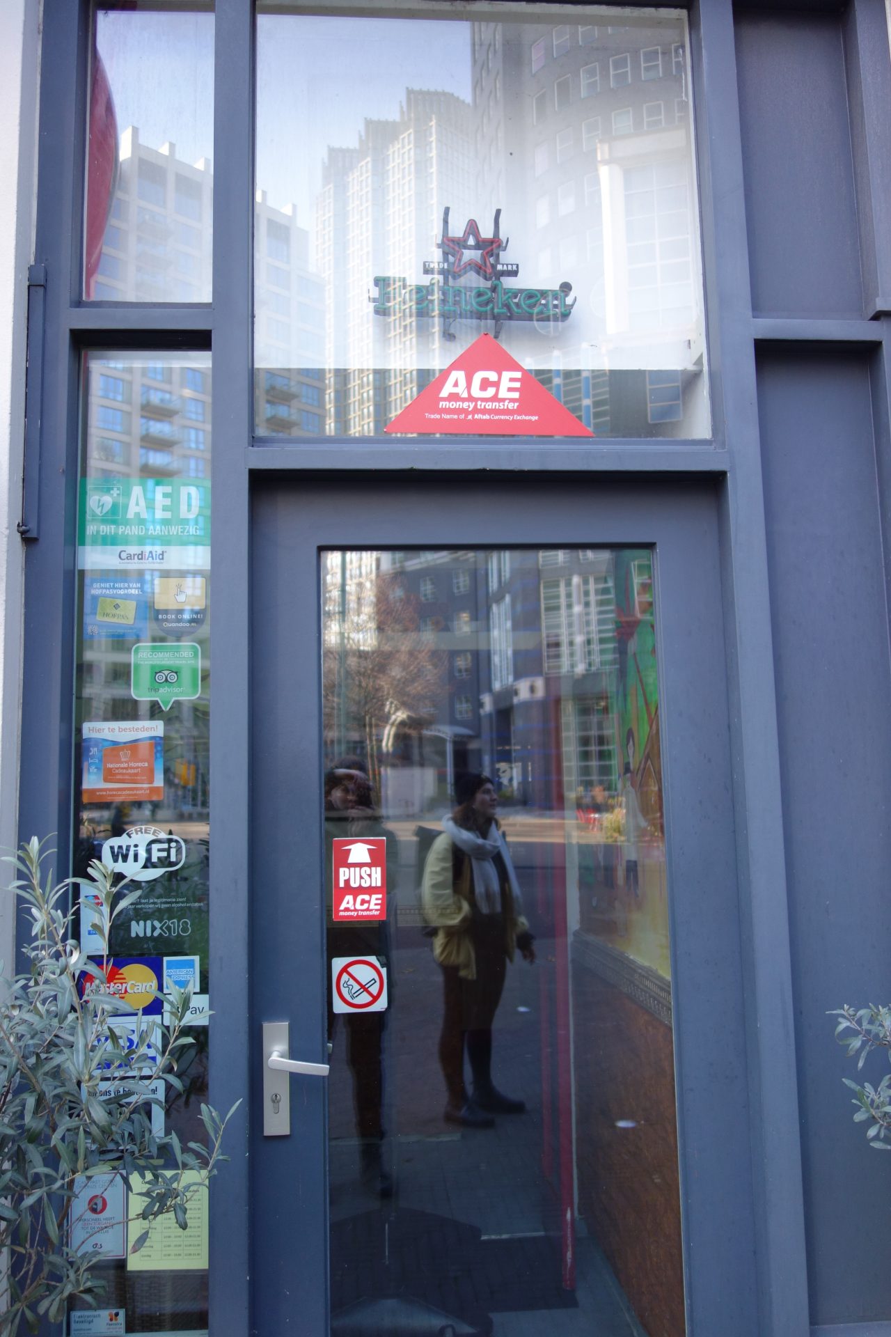
Below you will find an overview of most of the physical money transfer shops in The Hague. This map has been made by Sandra Bleeker and it is a combination of data found on the websites of the money transfer brands like Western Union and MoneyGram; data found on Google Maps; and photo's made by Sandra Bleeker while walking through The Hague. The student team decided to make a map after they renewed their research topic and their data collection methods (see the main page: Money Transfer Services). This map represents a form of online research, where the main data collection is found on public websites and on Google Maps. The main features of this map are: 1) Showing the availability of the physical money transfer facilities; The map works with a colours to separate the brands of the shops, the physical addresses are written in the comments and certain pins have pictures added to them: either shot by Sandra Bleeker on 14-12-2019 or shot as screenshot by Sandra Bleeker from Google Maps on 07-12-2019. The author of the map does not claim that the map is complete, nor that she owns the screenshots or any of the data taken from Google, Google Maps or other websites. The map can be used for further research or uses, let it be a starting point for other student products. By using the map, do reference to this website and this author. For the best viewing of the map, open it full-screen: this way the legend on the left of the screen and the map itself are well visible.
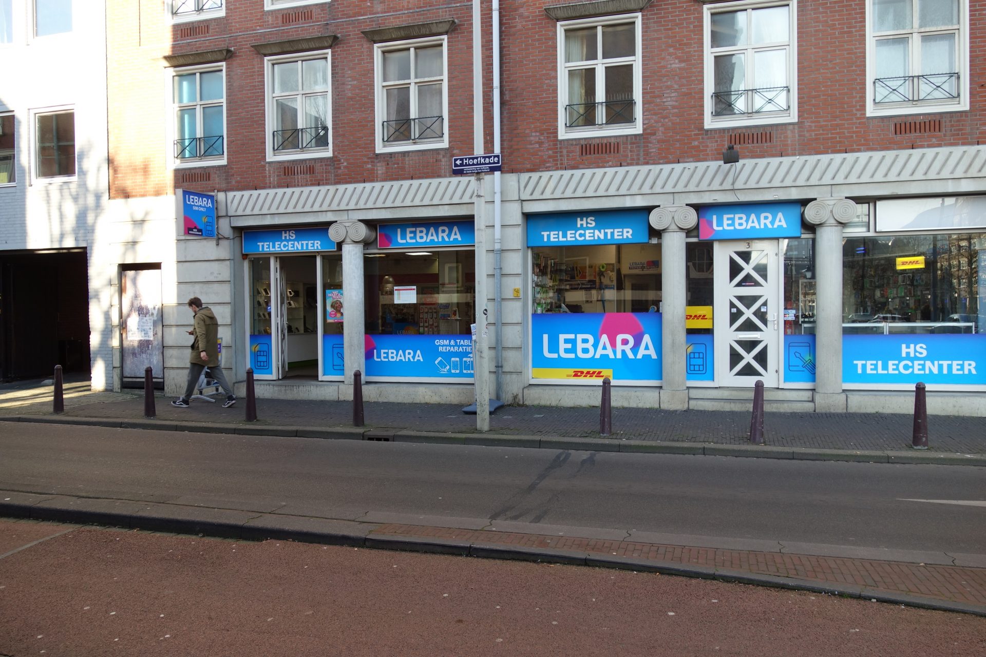
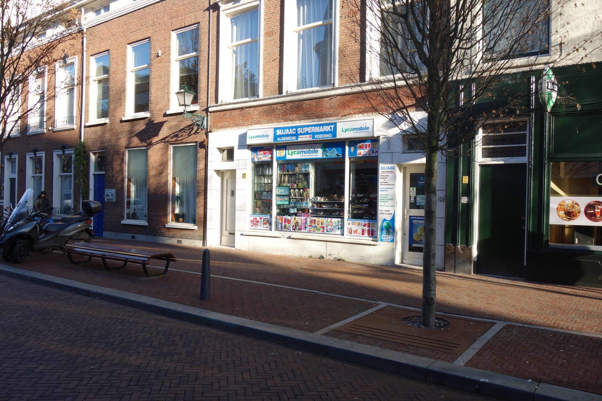
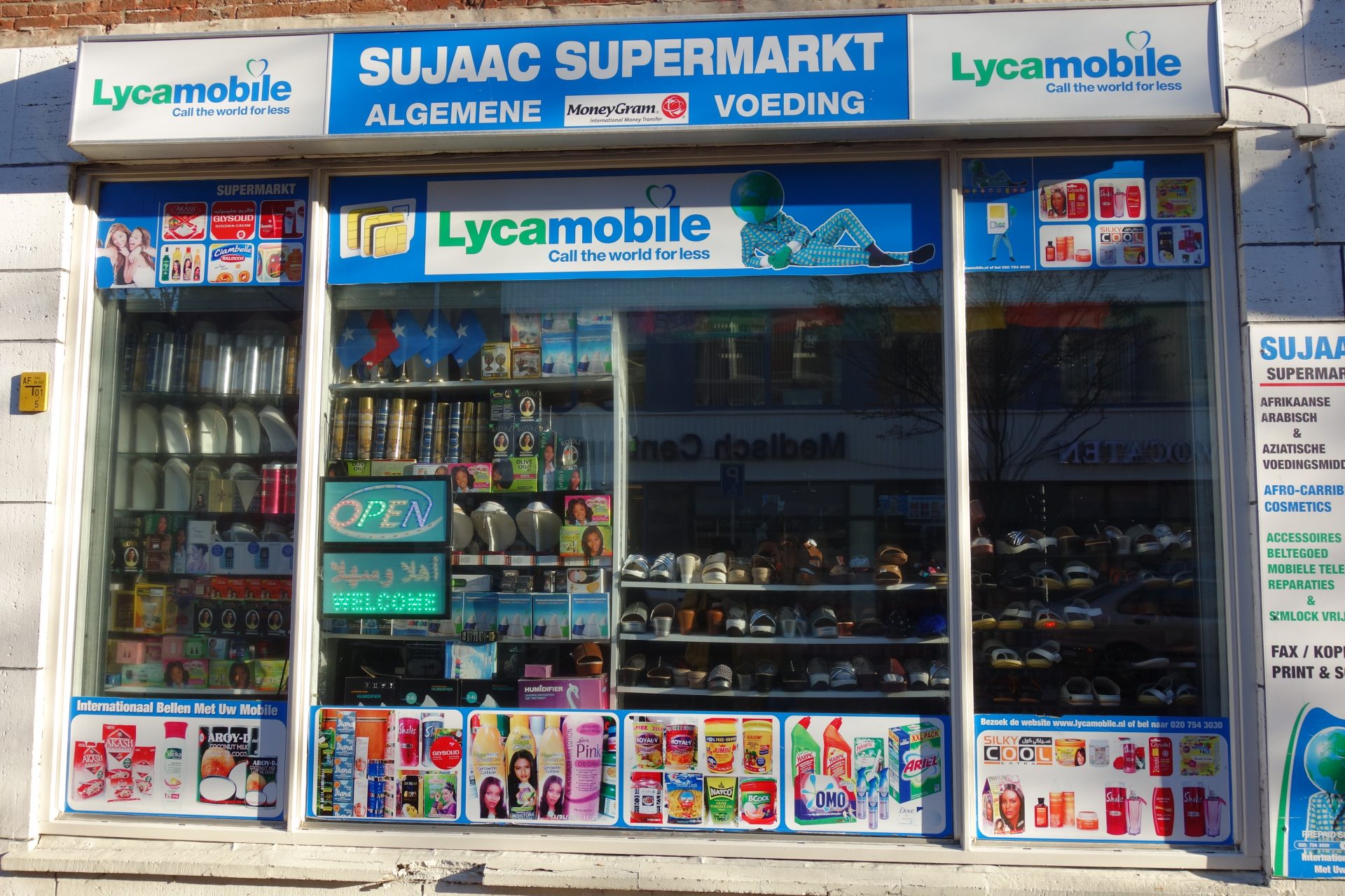
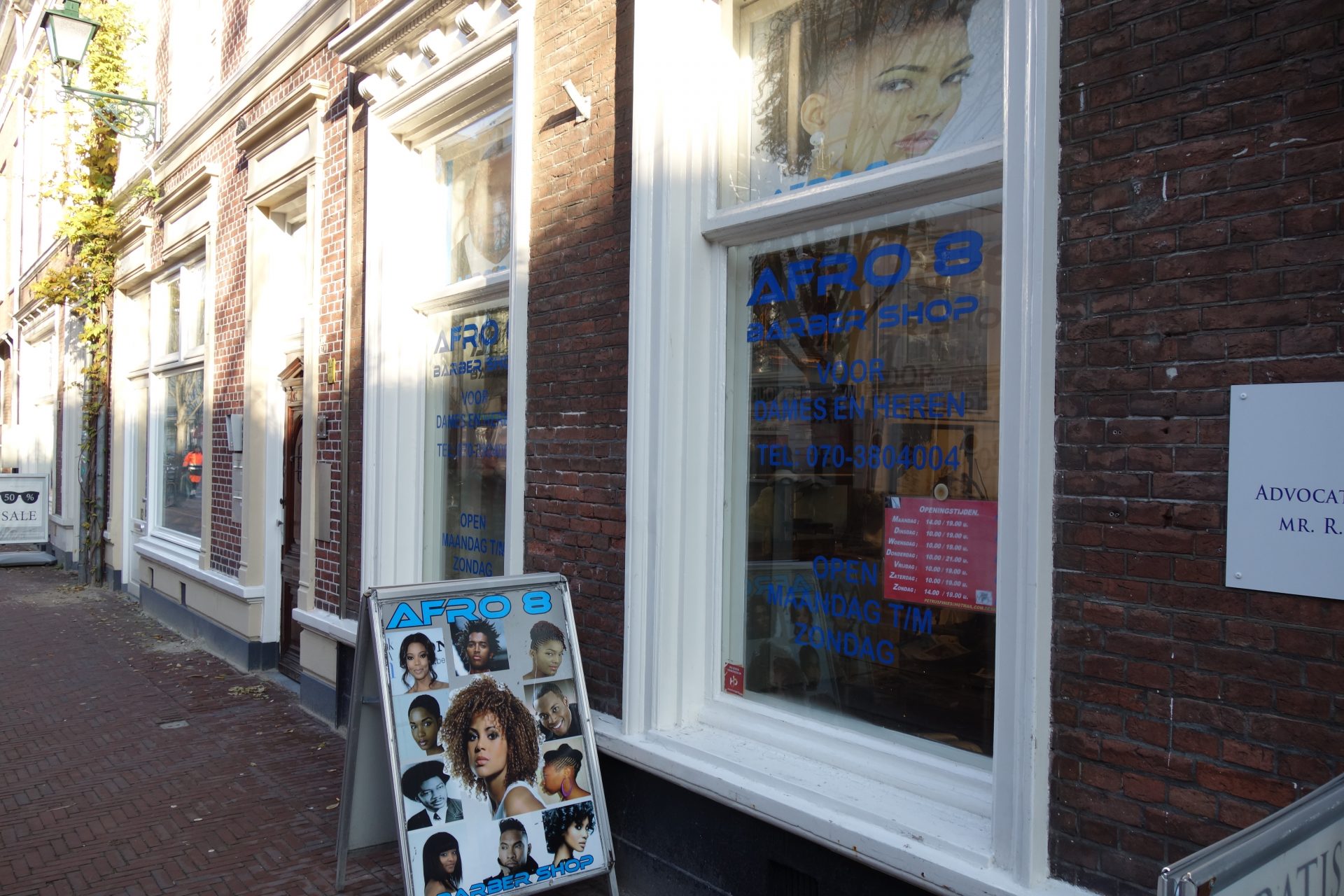
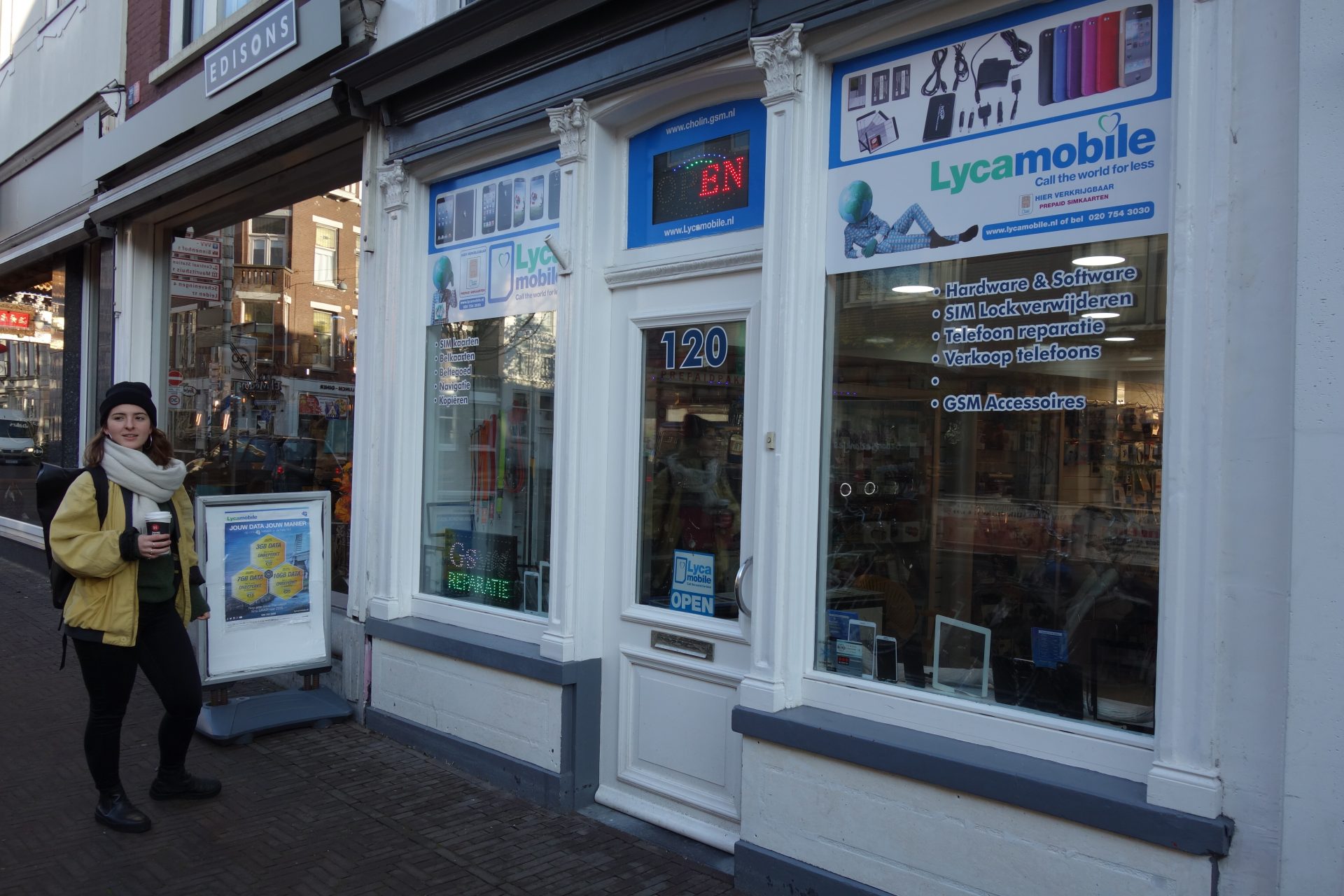
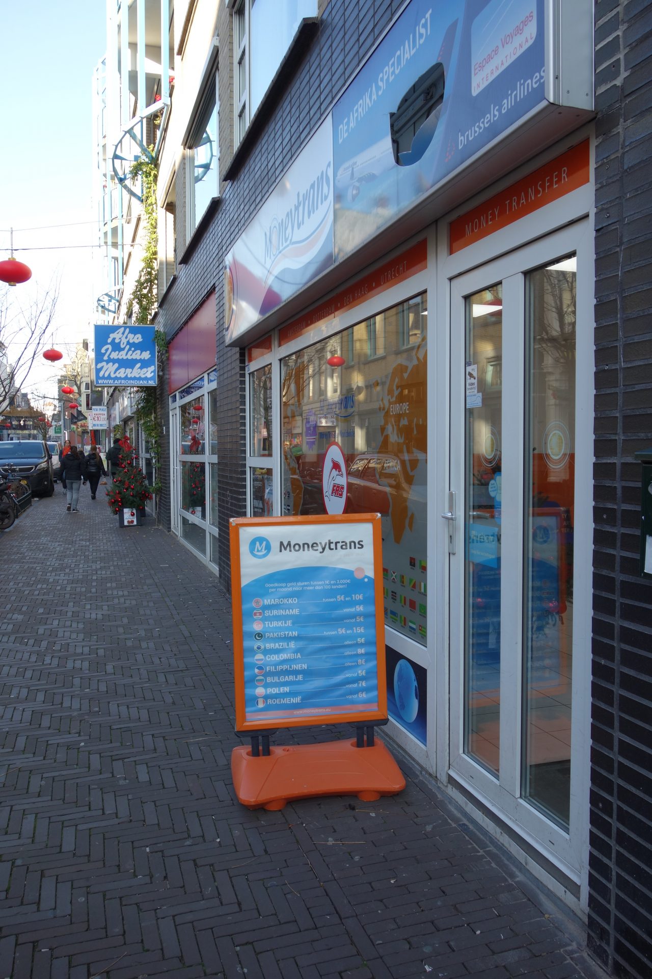
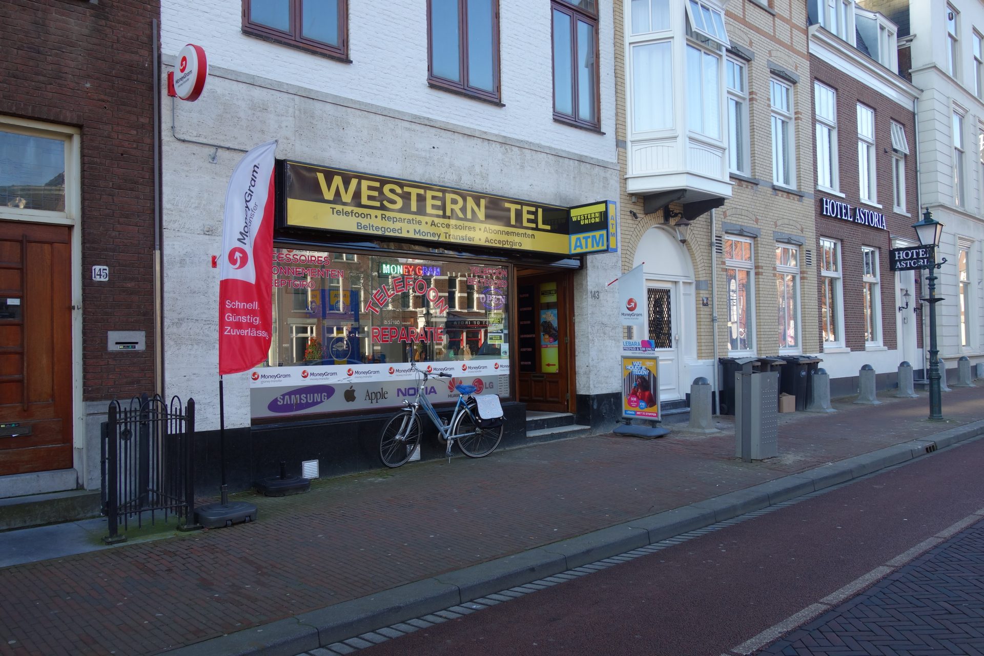
As mentioned above, the map came into existence using the websites of money transfer brands and Google Maps. To make a personal map in Google Maps, or My Map as it is called, I logged on my Google account. In Google Maps I clicked on the 'Menu' button and then I chose 'Your Places' from the selection of choices. I clicked on 'Maps' in the following section and then the option 'Create Map' at the lowest end of the window. This map opened then in a new window and I could start my actual map. By typing brand names like 'Westen Union' or 'Ria' in into the search bar on top of the map, Google generated their locations and I could add a pin to these places - one at the time. Another way of finding the shops was to look on the websites of the respective brands, because these websites also give an overview of the locations of their physical facilities. Every time I added a pin, I also checked whether they were real and the actual right location: in another tab on my browser I opened 'normal' Google Maps and used Street View to explore the street and the environment I was about to assign a pin to. I used the brands of services that showed up by typing in 'money transfer services' in Google and Google Maps, brands that I saw in The Hague and brands we found in. Besides the pins, I added two walks to the map as well, a physical and a virtual walk. I made the virtual walk by using the tool: 'add directions' in My Map. After I had made the walk, I used Street View in Google Maps to virtually walk over the route and I took screenshots of the Money Transfer shops I encountered. These pictures I later added to the corresponding pins. The physical walk was unplanned, Mira and I started walking from the train station Den Haag Holland Spoor without planning out a route in advance. We photographed facades of Money Transfer shops and their environments, as well as other relevant sites that target members of diasporas. Later I added the photos to the corresponding pins and added the walk using 'add directions'. Here I will share some of my personal reservations and challenges within the mapping project. Google Maps is a great tool for mapping and to gain geographical information, however, it is not always completely up-to-date and it does not necessarily fill all your wants and needs. It happened to me on several occasions that the locations were incorrect or not relevant anymore in the sense that the significant shop was no longer there. To be absolutely sure of the existence of all these shops would mean that I would physically go into these shops and ask the owners/assistants whether they provide the service and which brands they operate with.
2) Giving an overview of the frequency and accessibility of brands respectively;
3) Displaying in which areas, neighbourhoods and environments different types of shops are found.Methods used to create the map
Reservations and challenges
The pins can also only be given one colour, which is inconvenient, because a number of shops provide transfer services of several brands. I now used the colour of the brand which is 'biggest' or 'most important' in my opinion, but this is subjective. The issue of privacy is also prevalent, because is one allowed to - without the knowledge or consent of the owner of a shop - make photos or screenshots of facades of buildings? The answer to this question is not clear to me, so I have chosen to add the pictures on the grounds that they add qualitative value to the map. 


And an overview of our related posts:
1) Money Transfer Services in The Hague: An overview
2) Money Transfer Services in The Hague: Abiola Adegoke on her experiences with remittances
3) Money Transfer Services in The Hague: Paul on the social impacts of money transfers
4) Money Transfer Services in The Hague: Insights from an online survey
Money Transfer Services in The Hague: Mapping the money transfer services